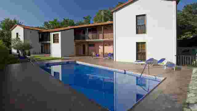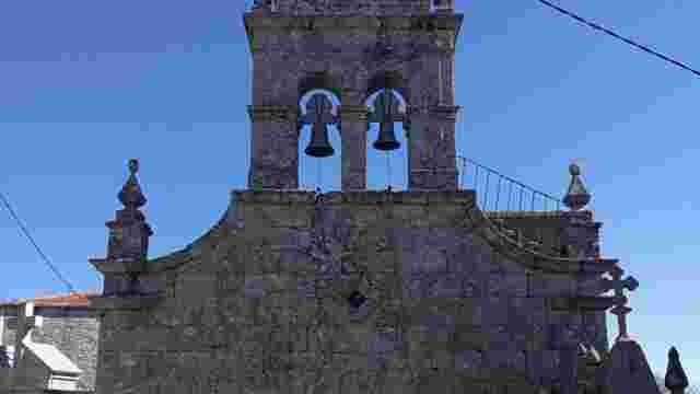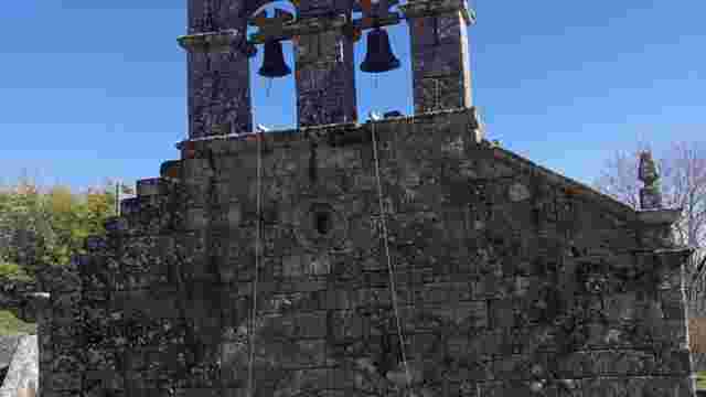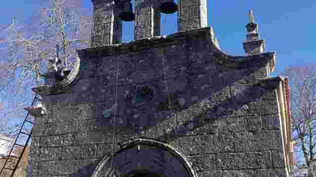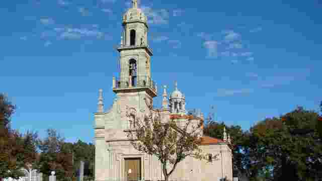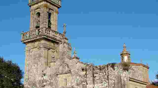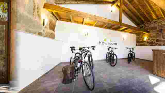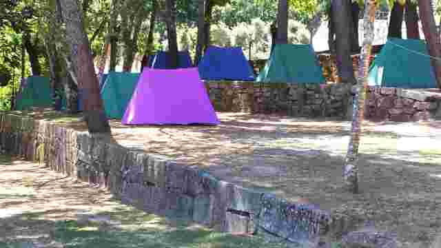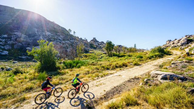
ROUTE 04 MTB CENTER. FONTEFRÍA PEAKS
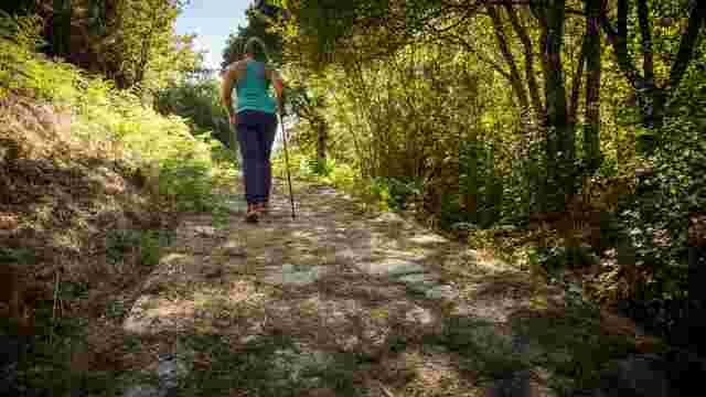
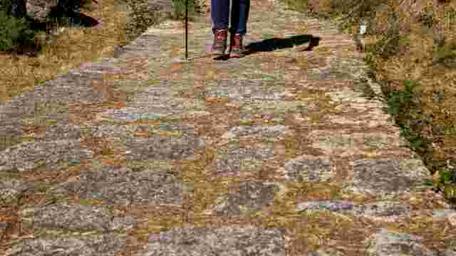
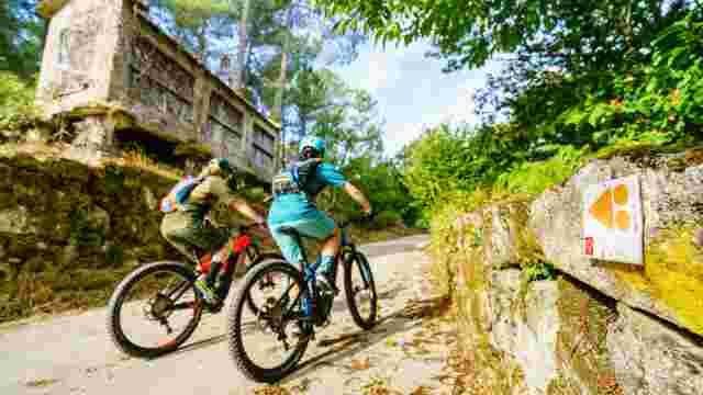
Undoubtedly, this is one of the most spectacular and demanding routes. With a total of 32.4 kilometers and almost 1,700 meters of accumulated elevation gain, it is a real challenge for the most experienced cyclists.
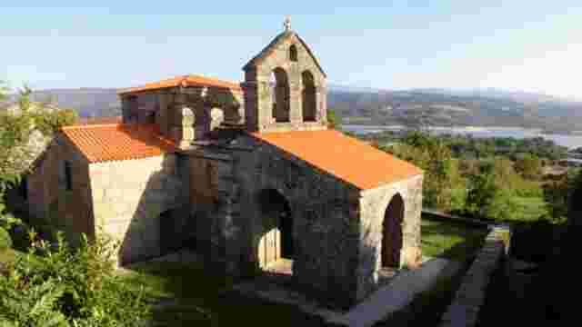
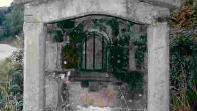
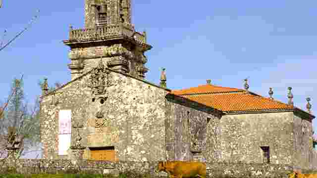
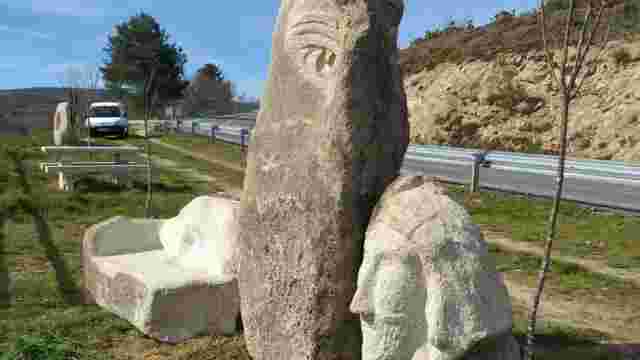
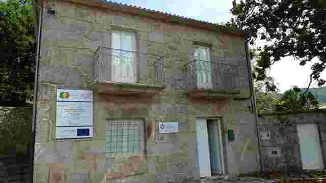
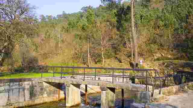
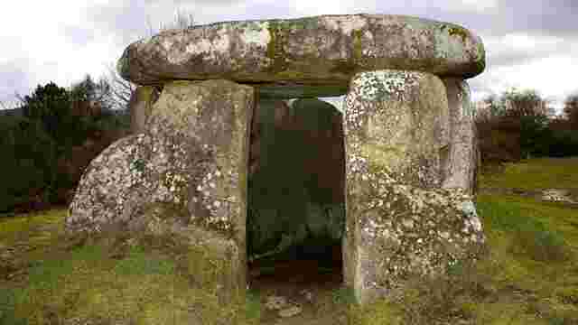
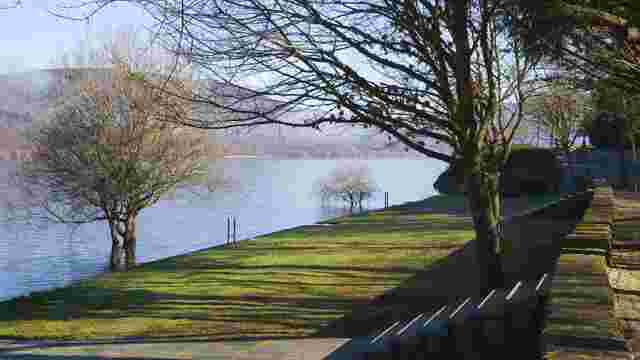
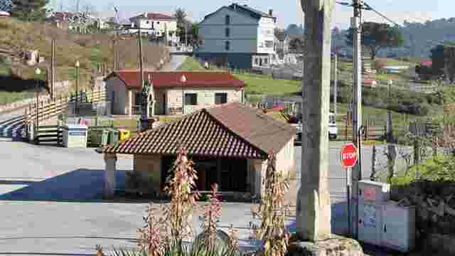
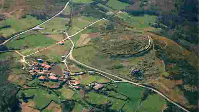
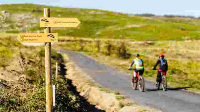
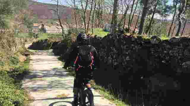
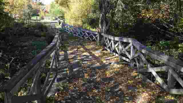
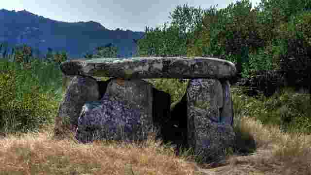
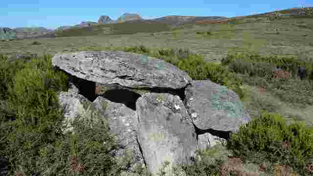
From the Welcome Point of As Maus de Salas, after crossing the dam of the reservoir, we leave on our left the dolmen known as Casola do Foxo and turn off to the right along a wide dirt track.
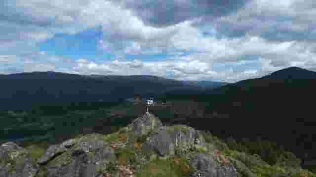
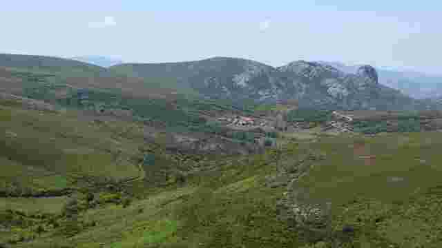
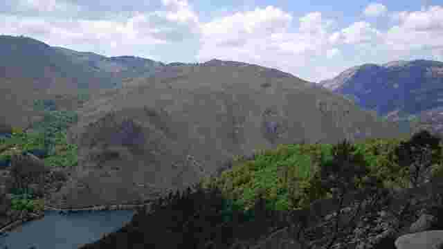
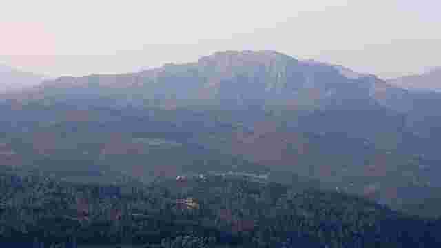
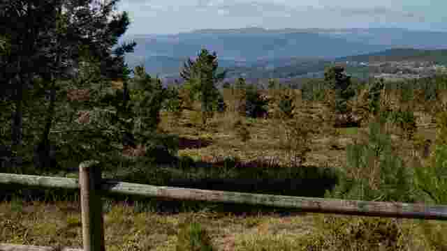
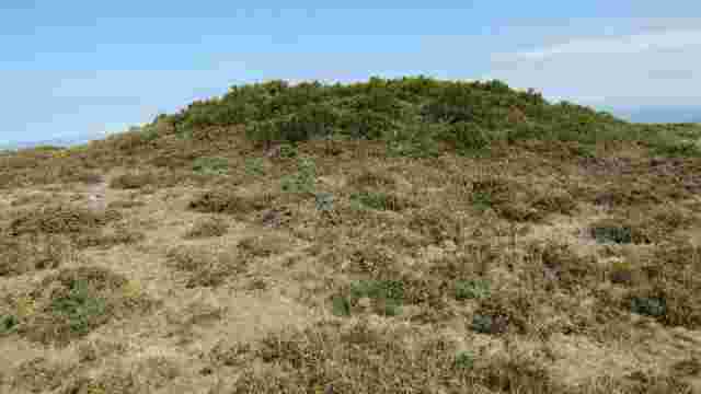
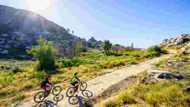
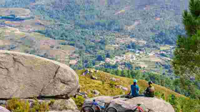
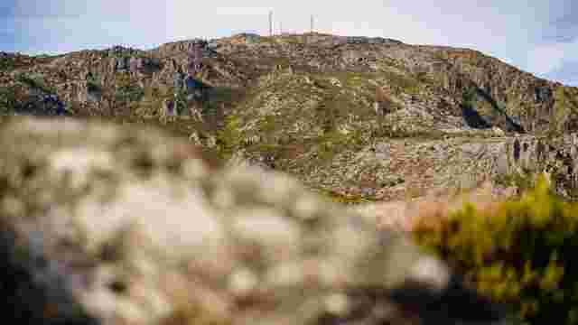
Through a long ascent, the route gradually enters the typical granitic and half-desert landscape of O Xurés until we reach the area known as Outeiro do Home Dereito, at 1,115 m of altitude.
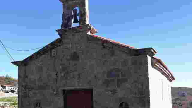
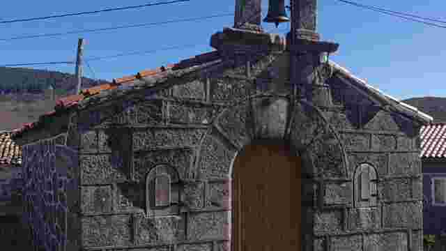
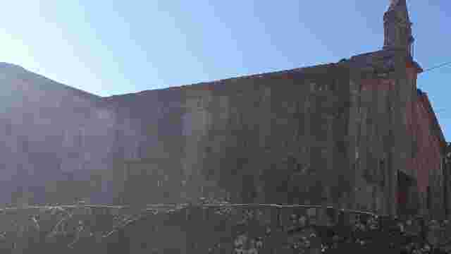
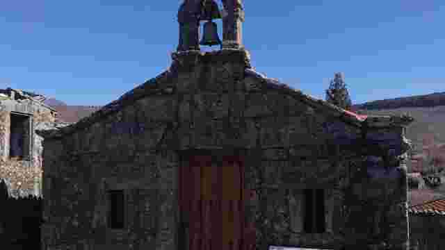
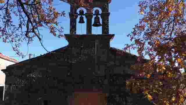
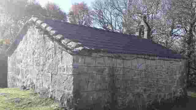
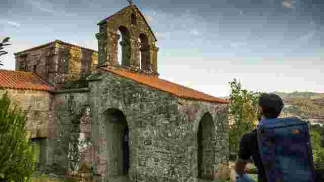
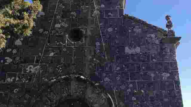
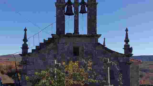
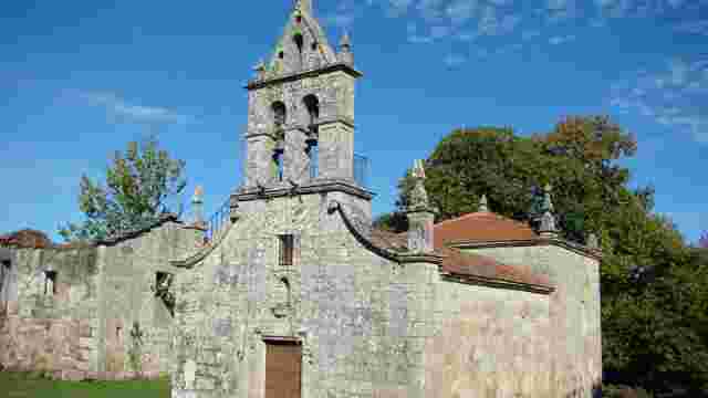
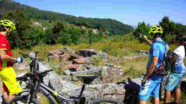
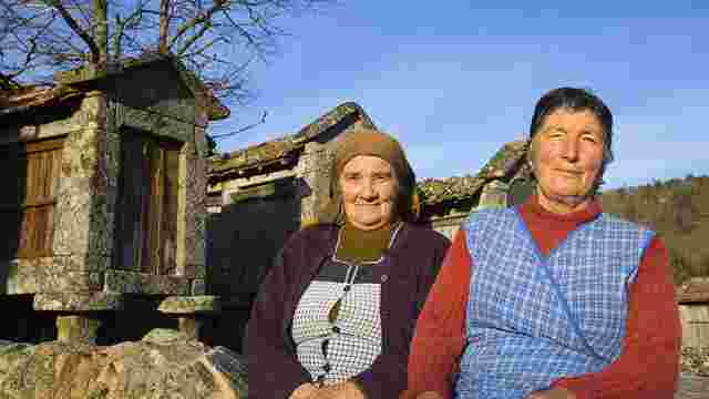
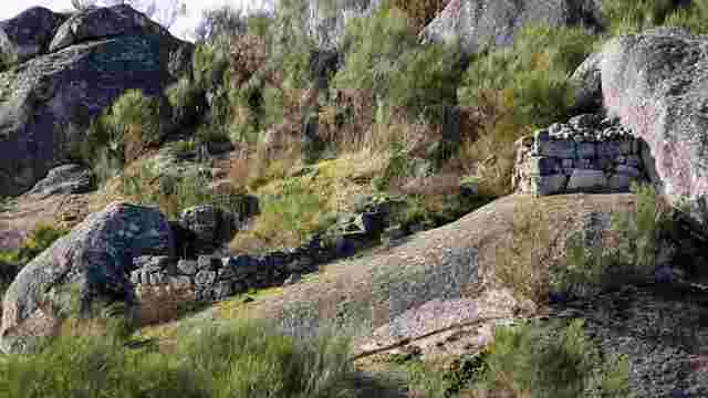
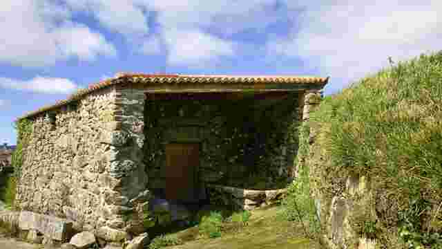
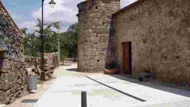
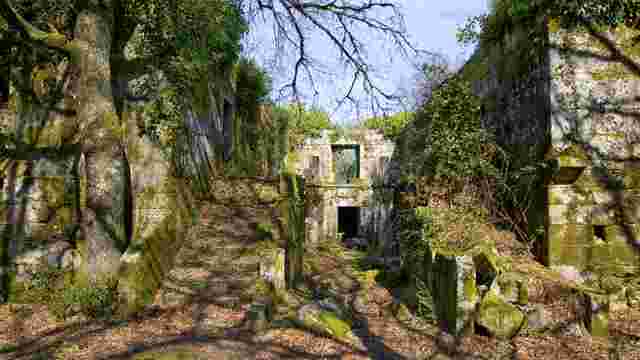
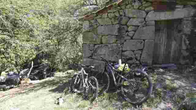
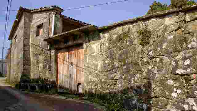
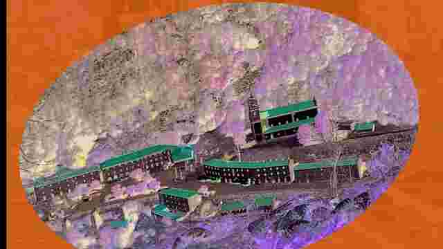
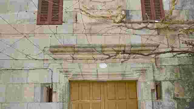
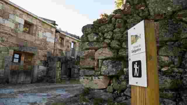
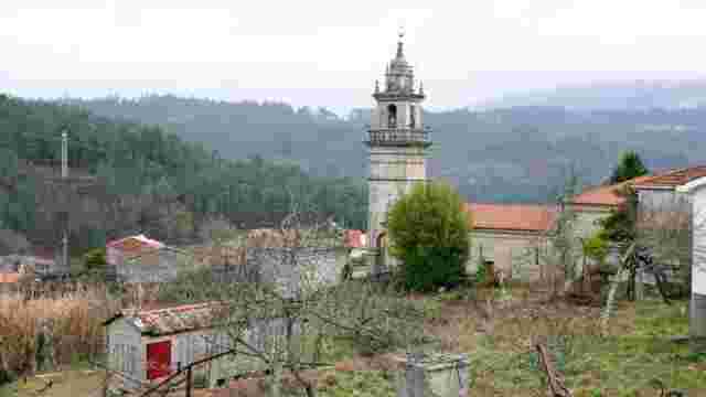
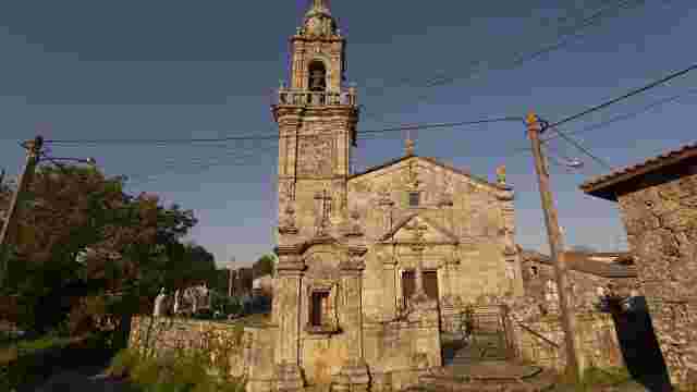
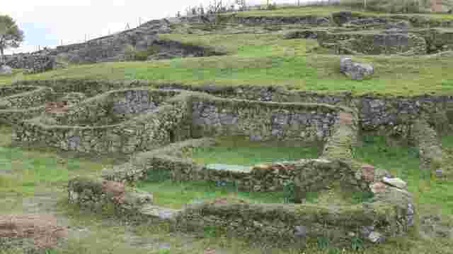
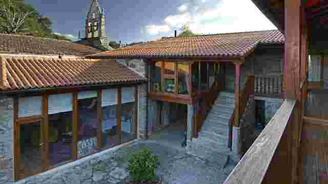
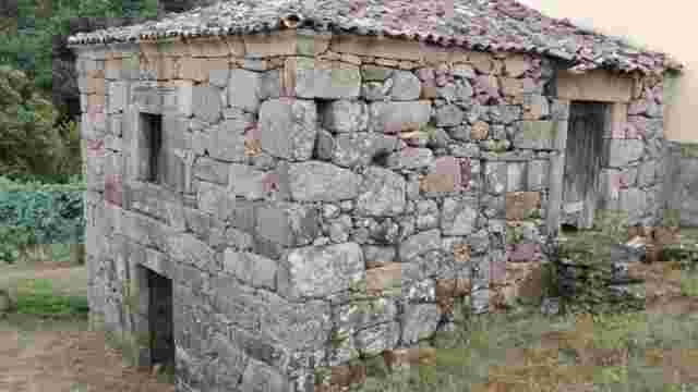
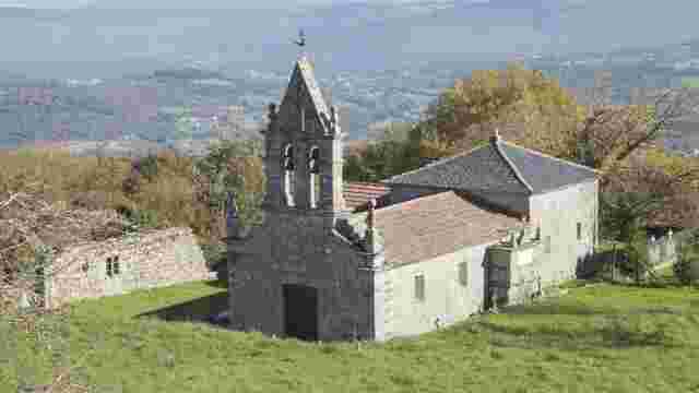
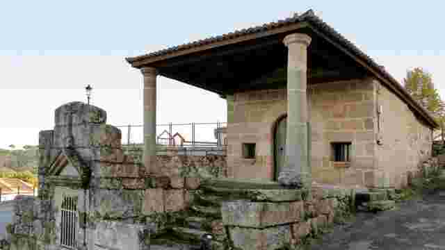
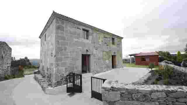
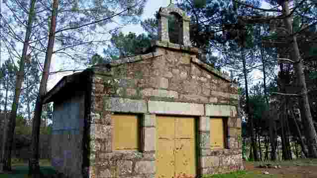
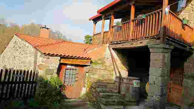
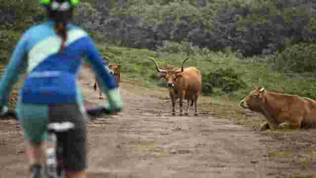
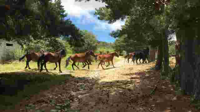
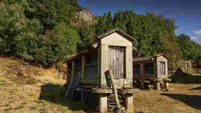
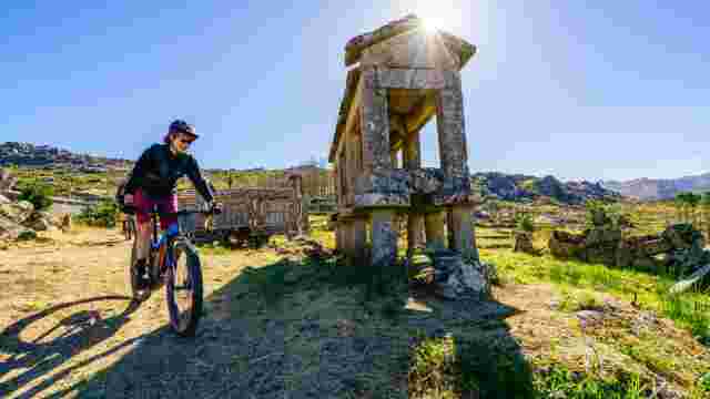
The route continues to reach the village of O Salgueiro, located at the foot of the Picos de Fontefría, abandoned by its inhabitants in the mid-nineteenth century due to the difficulty of establishing adequate access roads. The whole group of buildings and its bordering lands currently belong to the Xunta de Galicia, which, in collaboration with the Baixa Limia-Serra do Xurés Natural Park, is carrying out different programs for the management of the environment and its gradual reconstruction. Nearby, programs for the recovery of the mountain goat have been implemented.
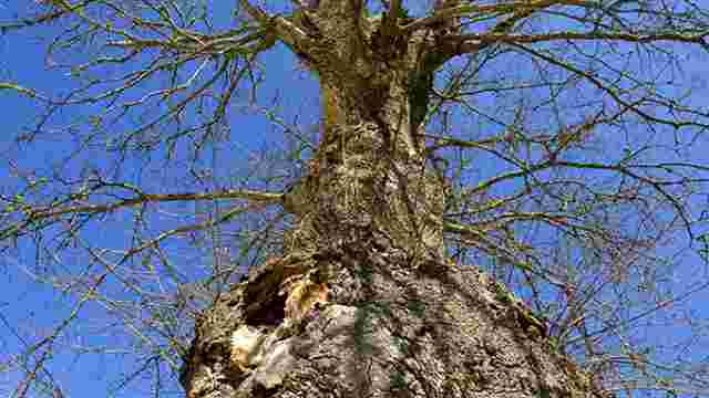
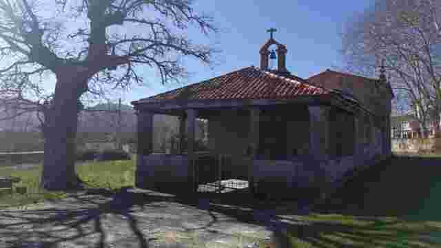
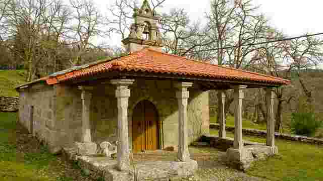
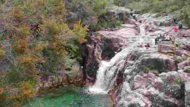
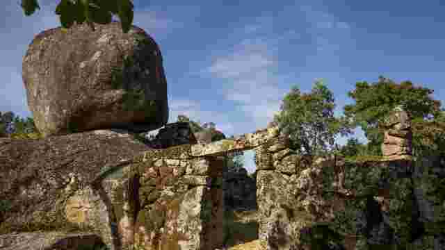
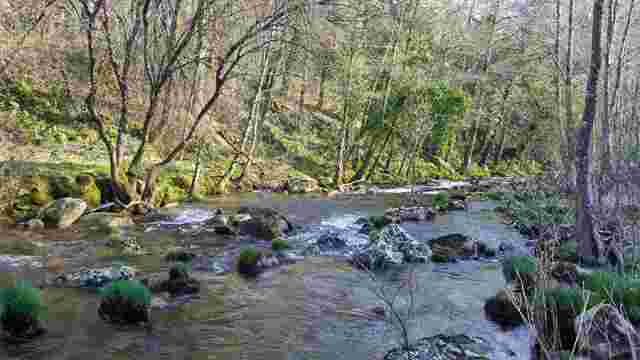
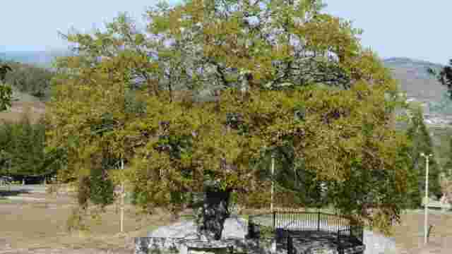
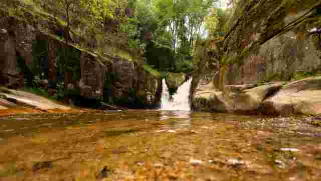
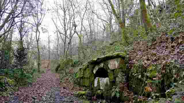
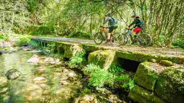
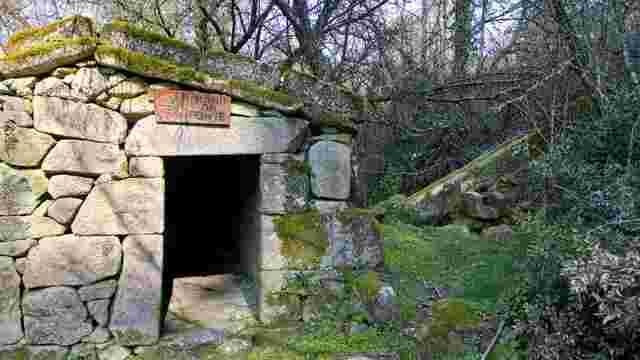
Leaving O Salgueiro and after a steep ascent, we arrive at carballeira da Barxa, an area of very well preserved native forest and Integral Reserve of this protected area.
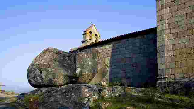
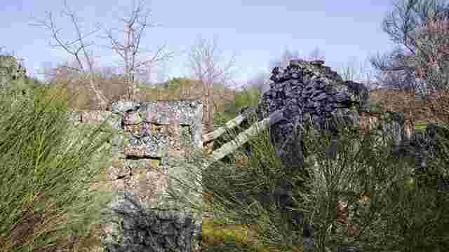
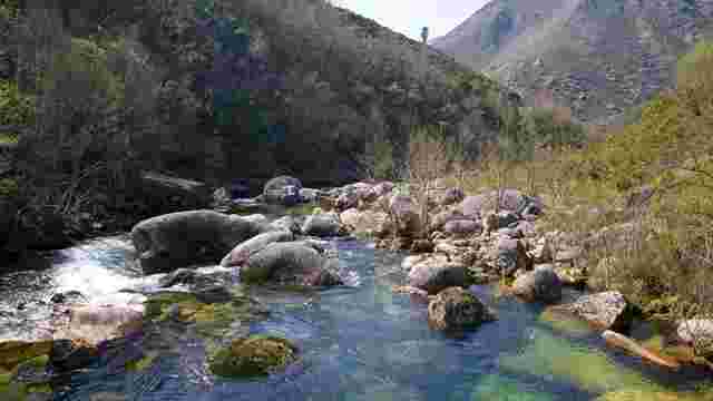
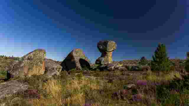
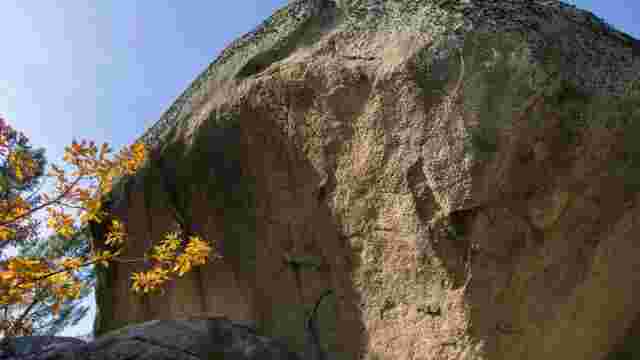
The last part of the route, before rejoining Route 3 "Megalithic" and returning to As Maus de Salas, runs through the highest areas of the Serra do Xurés, between rocks and granite boulders that give the landscape an arid appearance but of great natural value.