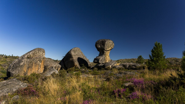
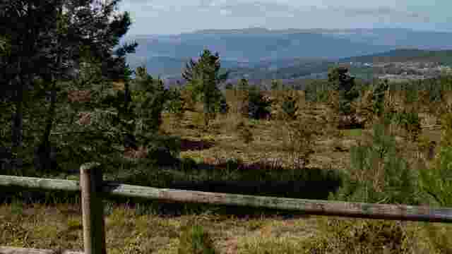
Parque Natural Baixa Limia-Serra do Xurés
Se sitúa al sudoeste de la provincia de Ourense y se extiende por el extremo de A Baixa Limia.
Este parque natural se sitúa al sudoeste de la provincia de Ourense y se extiende por el extremo de A Baixa Limia. Inicialmente (1993) ocuparon el parque los ayuntamientos de Entrimo, Lobios y Muiños que forman frontera con el parque nacional de Portugal Peneda-Gerês.
Alcanzaba en su origen una extensión de 20.920 ha. Posteriormente fue ampliado abarcando los ayuntamientos de Lobeira, Bande y Calvos de Randín, suponiendo una ampliación de 8.000 ha más para hacer un total de 29.345 ha.
Ya en el 2009 entra a formar parte de la reserva da Biosfera Transfronteriza Gerês-Xurés (RBTGX).
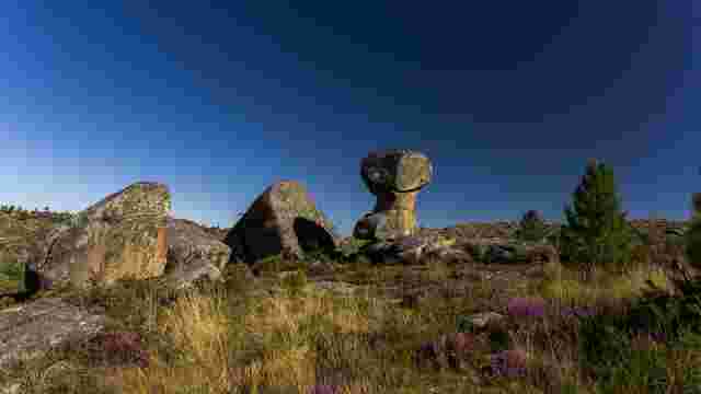
Parque Natural Baixa Limia-Serra do Xurés
Se sitúa al sudoeste de la provincia de Ourense y se extiende por el extremo de A Baixa Limia.
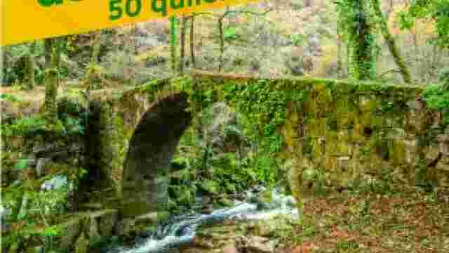
Caminata de montaña de Entrimo
El Concello de Entrimo propone tanto a sus vecinos como a visitantes, realizar un total de 50 kilóme
Terrachán-Peneda
En el mes de septiembre. Son 19 kilómetros que comienzan en la plaza del Concello de Entrimo.
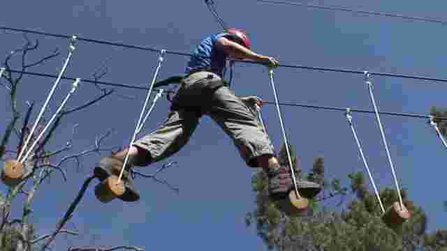
Xurés activo
Empresa de actividades deportivas
Aviva Sport Center
Mountain sports facilities with different services.
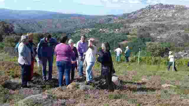
XORDOS VIEWPOINT/ XURÉS VIEWPOINT
The "Miradoiro do Xurés", located next to the OU-1201 road between Bande and Muíños.
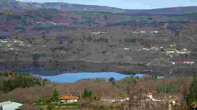
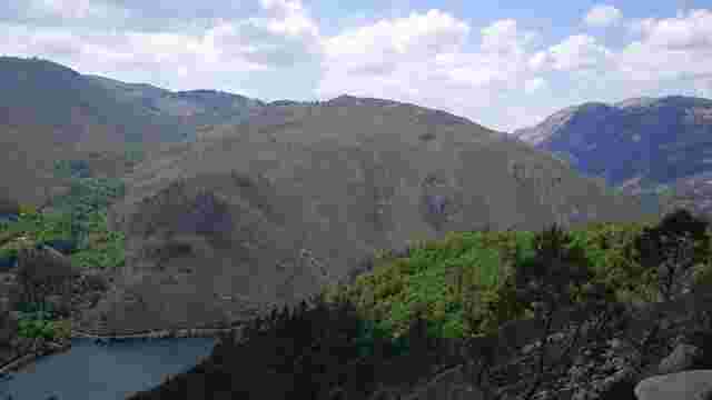
Mirador de Mugueimes
Permite disfrutar de unas excelentes vistas del embalse de las Conchas.
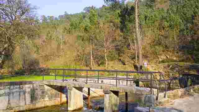
Área recreativa das Perdices (zona de baño y recreo)
Esta área recreativa ofrece la posibilidad de disfrutar de la naturaleza del entorno además de conta
PEDREIRIÑO VIEWPOINT
From this viewpoint you can see the Pia da Moura, the Pena de Anaman and the Lindoso Reservoir.
Olelas
Este es un espacio natural muy recomendable que cuenta con dos joyas: el pantano de Olelas y el río
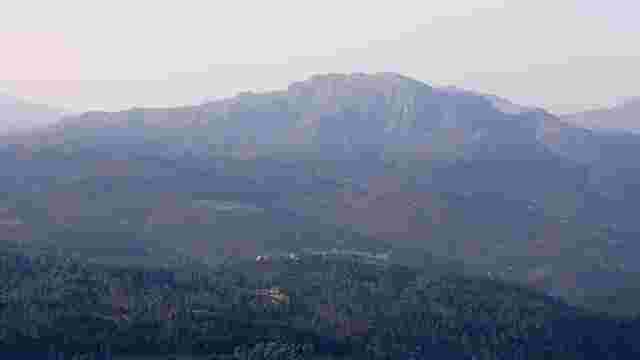
Pena de Anamán
La pena de Anamán (1276 m) se encuentra al norte de la Sierra de Quinxo y la Sierra de Laboreiro.
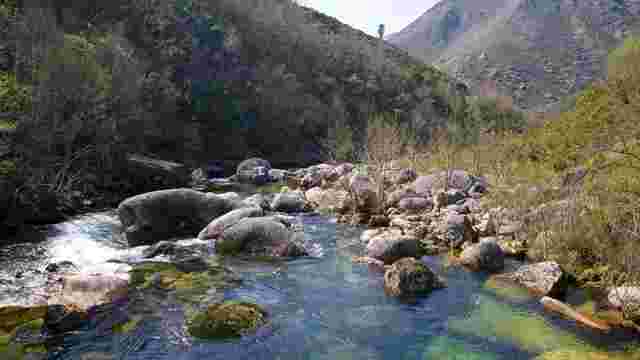
Pozas de Mallón
Bonitos senderos, puentes que cruzan el río Barcia y que nos permiten cruzar de España a Portugal...
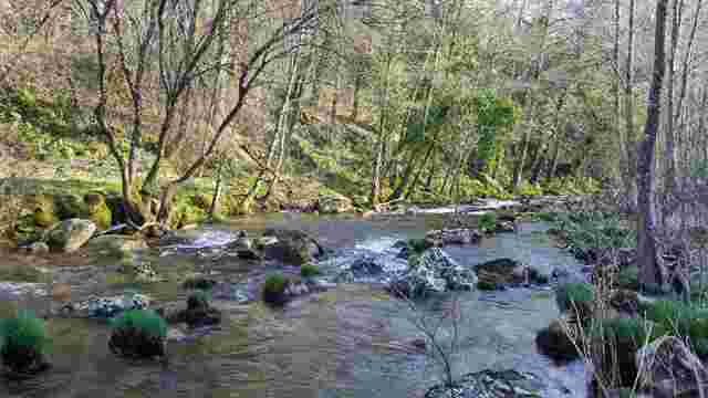
Pozo Caido. Cascadas y poza
En el entorno del Río Pacín y accesible desde el área recreativa das Perdices se encuentran Pozo Caí
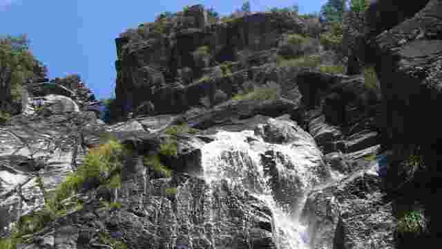
A CORGA DA FECHA
This waterfall is the longest in Galicia and overcomes a height difference of two hundred meters in the search of the Caldo riverbed.
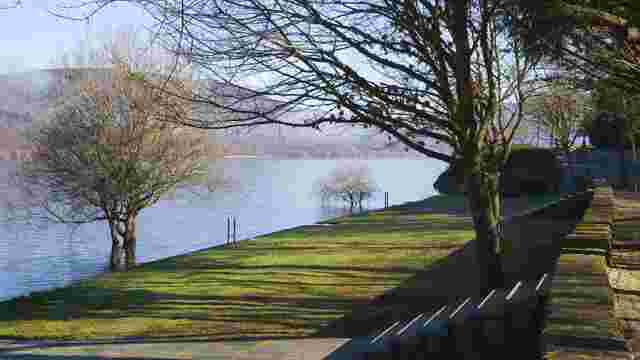
Termas Río Caldo
La temperatura de la surgencia se eleva hasta los 60º y es un agua de mineralización débil, ...
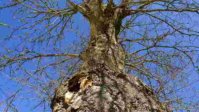
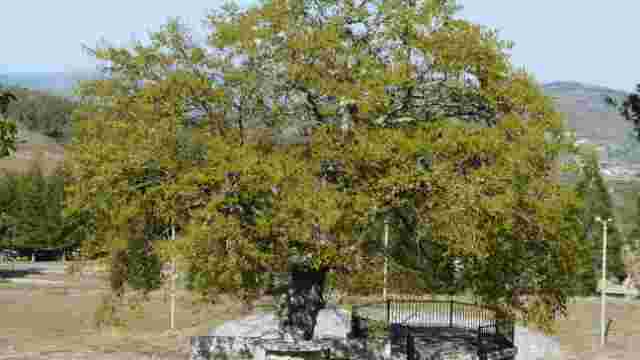
Árboles Senlleiras
Estos árboles centenarios son hermosas reliquias respetadas por los vecinos
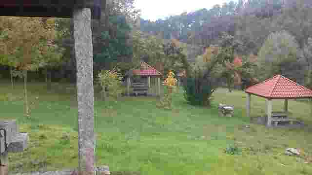
O Corgo. Complejo Turístico – deportivo
Playas y zonas de recreo, así como alojamiento en forma de camping o albergue.
Área recreativa O Santo
Lugar destinado al ocio situado a 4km de Cartelle, donde se puede disfrutar de la naturaleza de la z
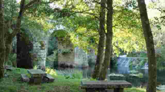
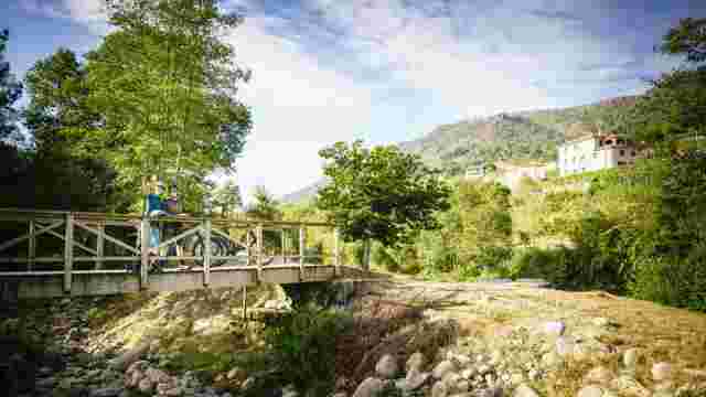
Área recreativa de Freixo
Zona arbolada y de gran riqueza natural situada al lado del puente de Freixo, ideal para el descanso
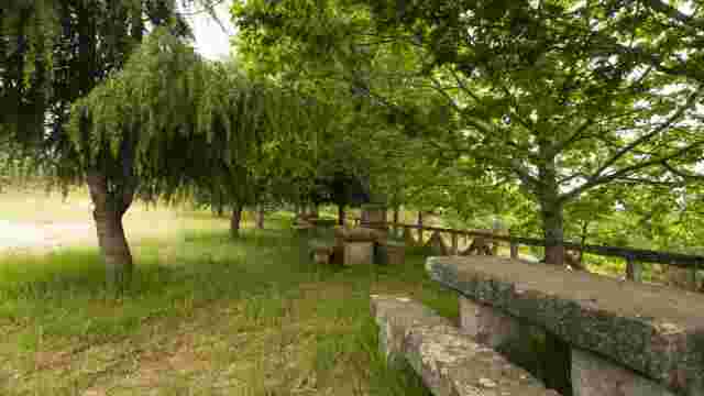
Miradoiro Santiago do Viñal
Mirador provisto de mesas y bancos de piedra, fuente y churrasqueras
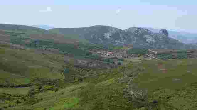
Mirador O Viso
Mirador sobre el monte Viso, un macizo que pertenece a la Sierra de Leboreiro.
EDIBLE FOREST PUXEDOS
Planting of around 200 plants of different types of plant species. Pollinating insect shelters and birdhouses will be installed next to them.
Monte de San Paio dos Pitos
Se localiza en la cima de un sobresaliente monte, a 734m. de altitud. Allí encontramos una ermita.
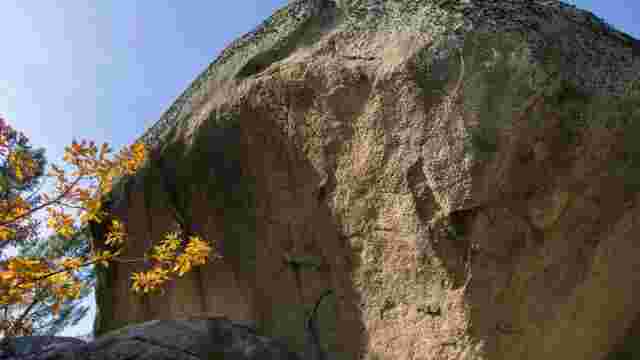
O TANGARAÑO DE BARBADÁS
O Tangaraño is a gigantic rock, a typical granite boulder of many metres in diameter sitting on top of other rocks, so that you can pass underneath it crouch...
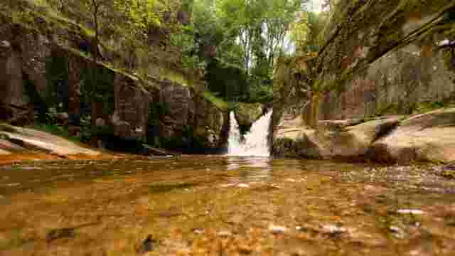
O PISCO
Waterfall of the Barbadás River as it passes through the hamlet of Os Muiños