ROUTE 08 MTB CENTER DAS SOMBRAS MINES

 Back


Route data


Weather forecast
Lobios
 13°C
Real feel 13°
moderate rain
-
Fri
13/11
14° /12°
 99%
-
Sat
14/1111° /10°
94%
-
Sun
15/1111° /11°
99%
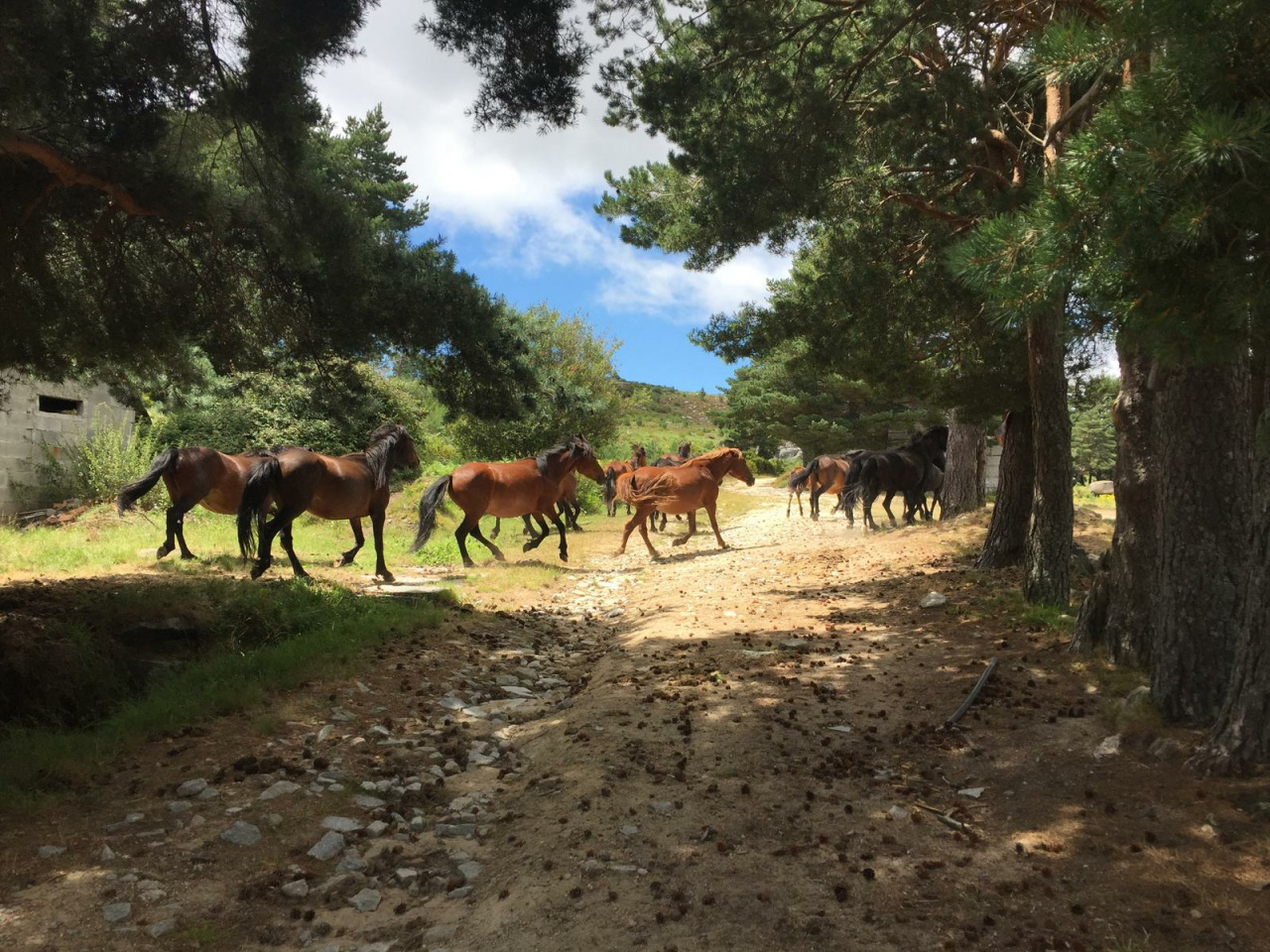
This route starts in a southerly direction from the center of Lobios towards the “Minas das Sombras”, discovering in its path a hundred percent natural environment that clearly shows a demanding orography.
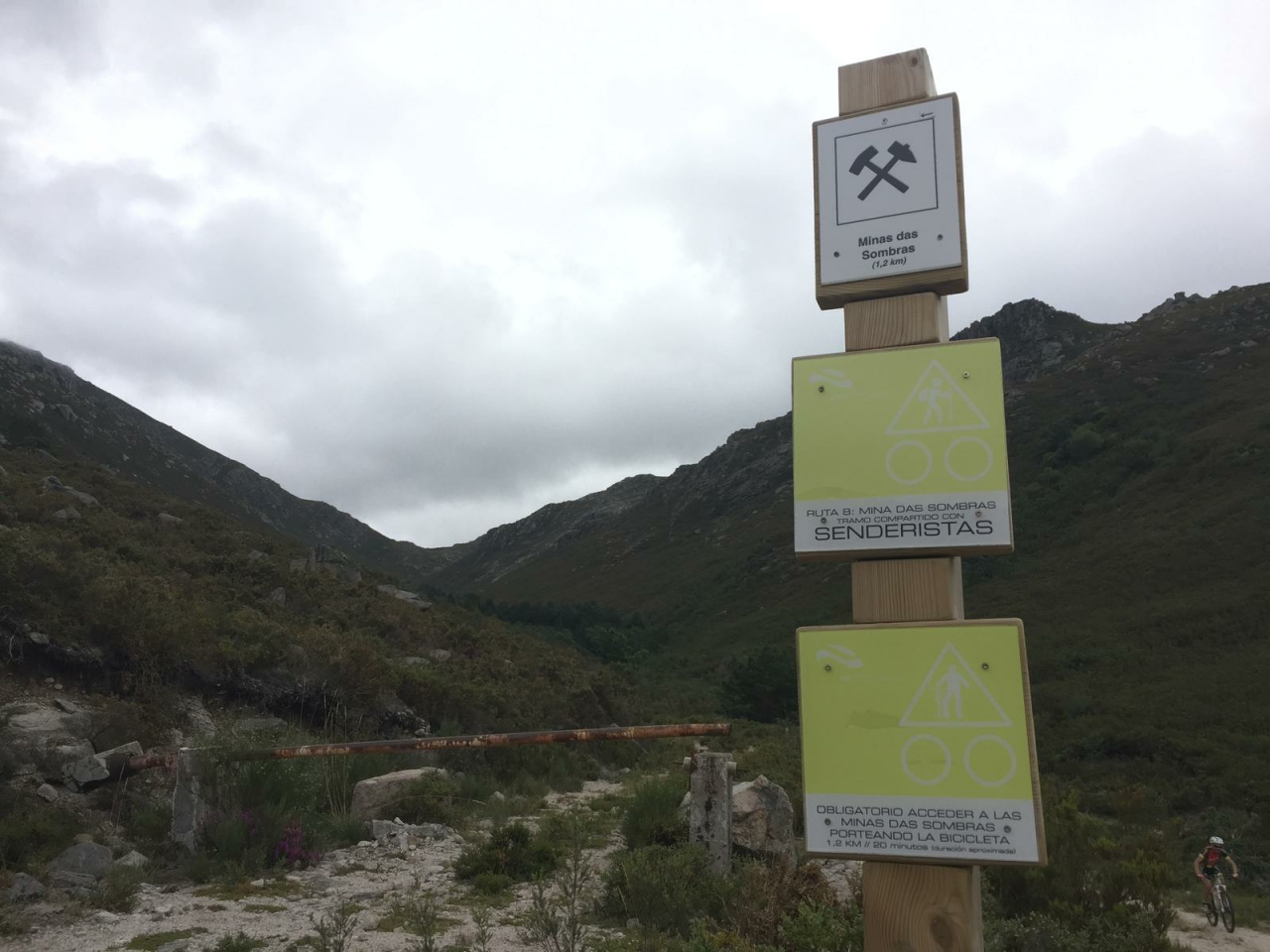
This route starts in a southerly direction from the center of Lobios towards the "Minas das Sombras", discovering a 100% natural environment that clearly shows a demanding orography. The first part of the route goes uphill until reaching the old mining exploitation whose final stretch coincides with a path that will be mandatory to carry our bike to preserve the state of the road. We return to the main track, where the ascent is softened, leaving on the right a path that goes to the top of the Corga da Fecha, one of the most representative waterfalls of the Natural Park Baixa Limia-Serra do Xurés. Likewise, we will have the opportunity to contemplate other waterfalls such as the Corga do Curro, the Corga do Medeiro, the Corga da Candela and the Corga da Revolta, among others.
We reach the border with Portugal arriving at Portela do Home, from where we will start the descent to the starting point sharing the first kilometers of the Route 6 "Via Nova" until we return to Lobios.
Weather forecast
Lobios
13°CReal feel 13°C
moderate rain
-
Fri
13/1114° /12°
99%
-
Sat
14/1111° /10°
94%
-
Sun
15/1111° /11°
99%